 Tools Used
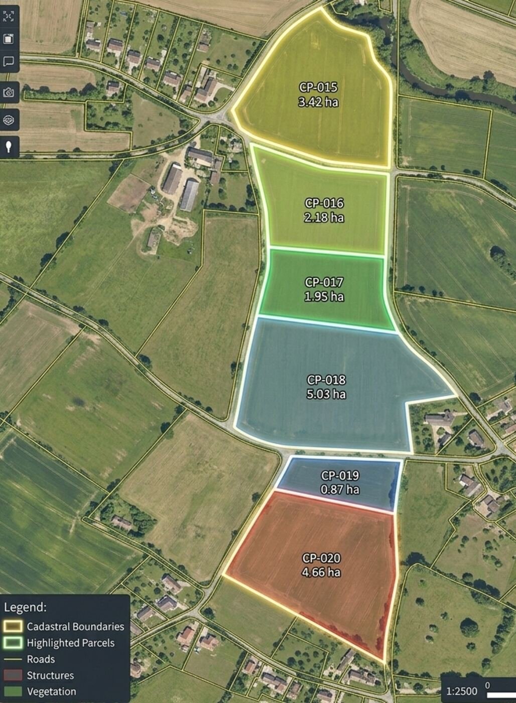
Boundary mapping, land parcel measurement and revenue survey.
 Sensors
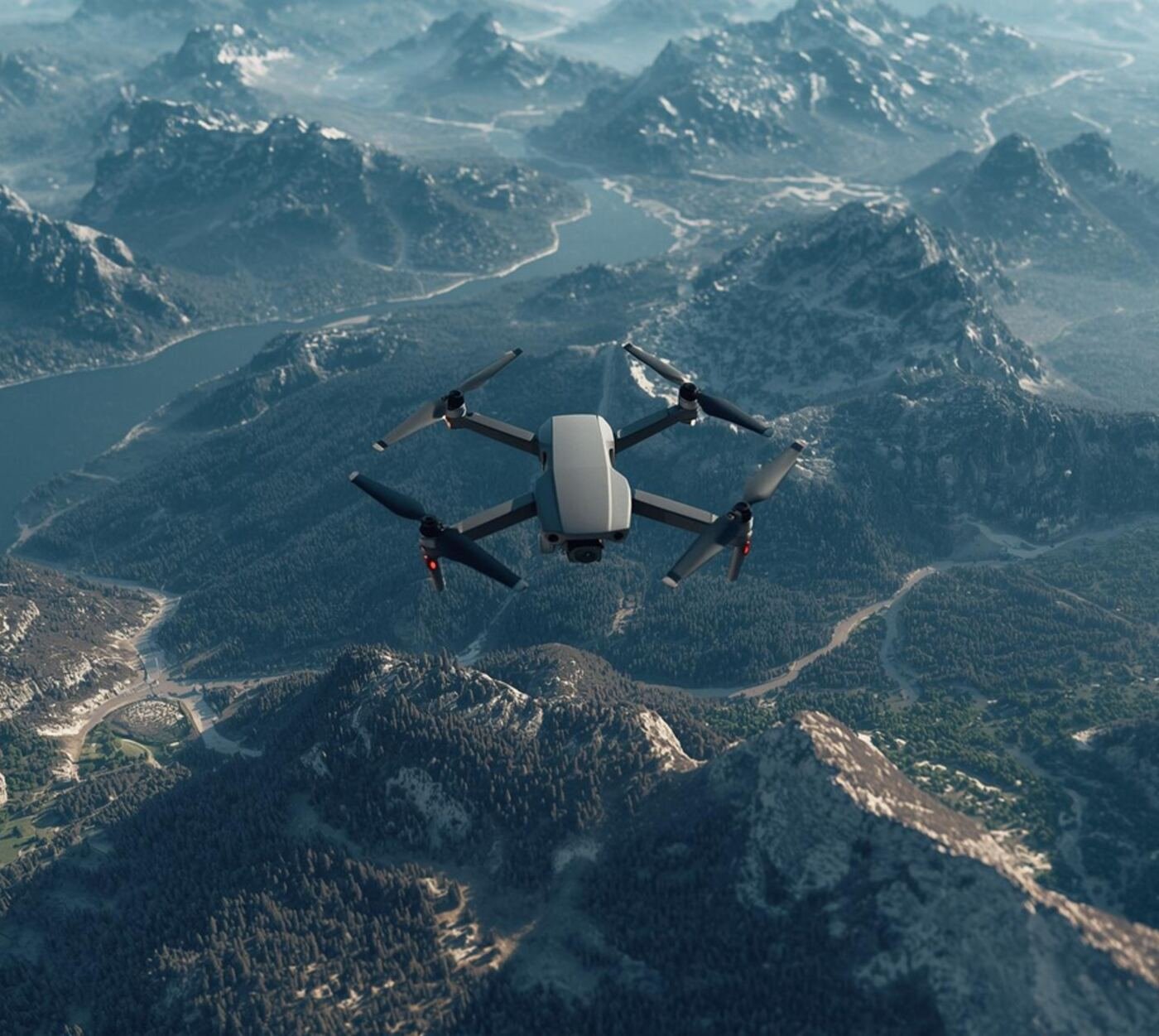
Forest cover mapping, canopy density and fire damage assessment.
 Benefits
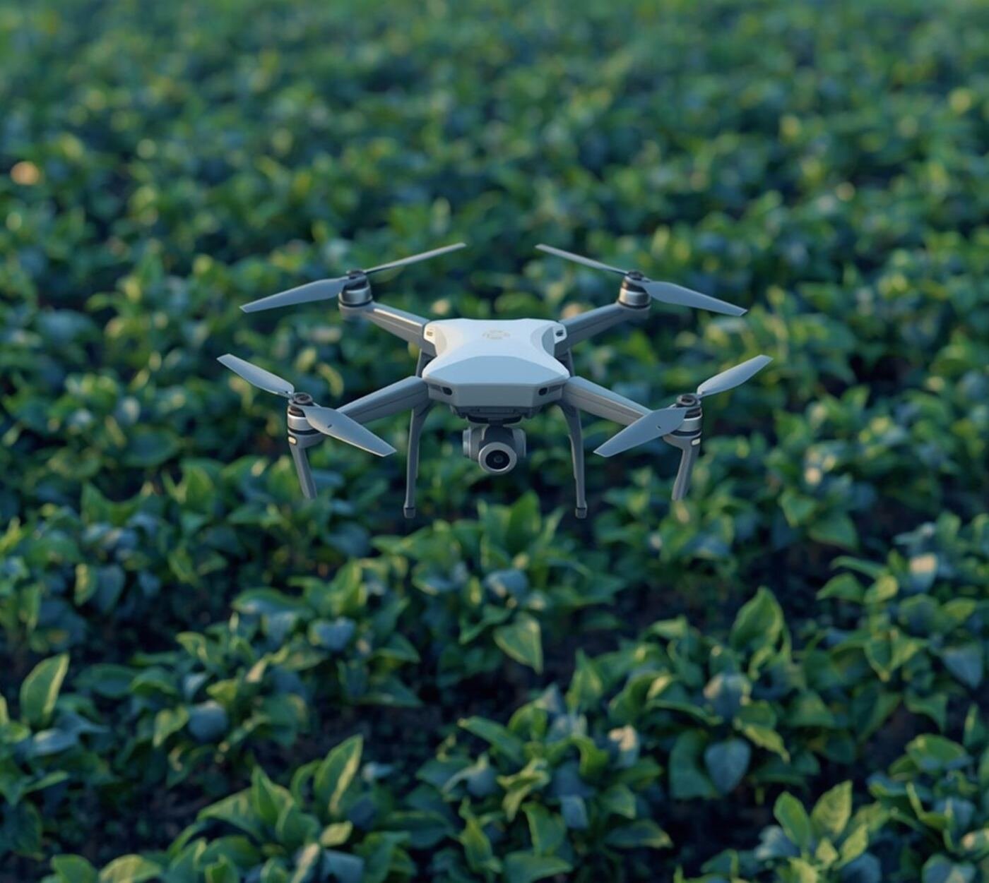
Crop health monitoring, NDVI mapping and yield estimation.
 Outputs
Road alignment, progress monitoring and volume calculation.
 Advantage
Stockpile volumes, overburden measurement and mine planning.
 Equipment
Rapid-response flood, landslide and earthquake damage survey.
Contact us to discuss your specific requirements. We offer tailored drone services to meet your unique needs.
Get a Quote