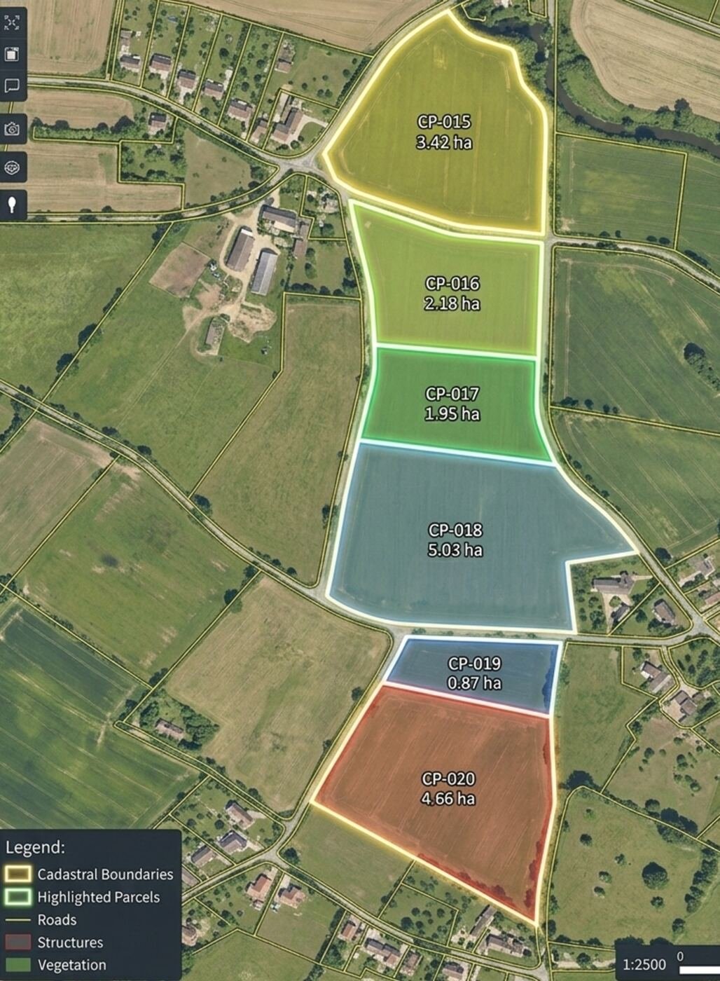
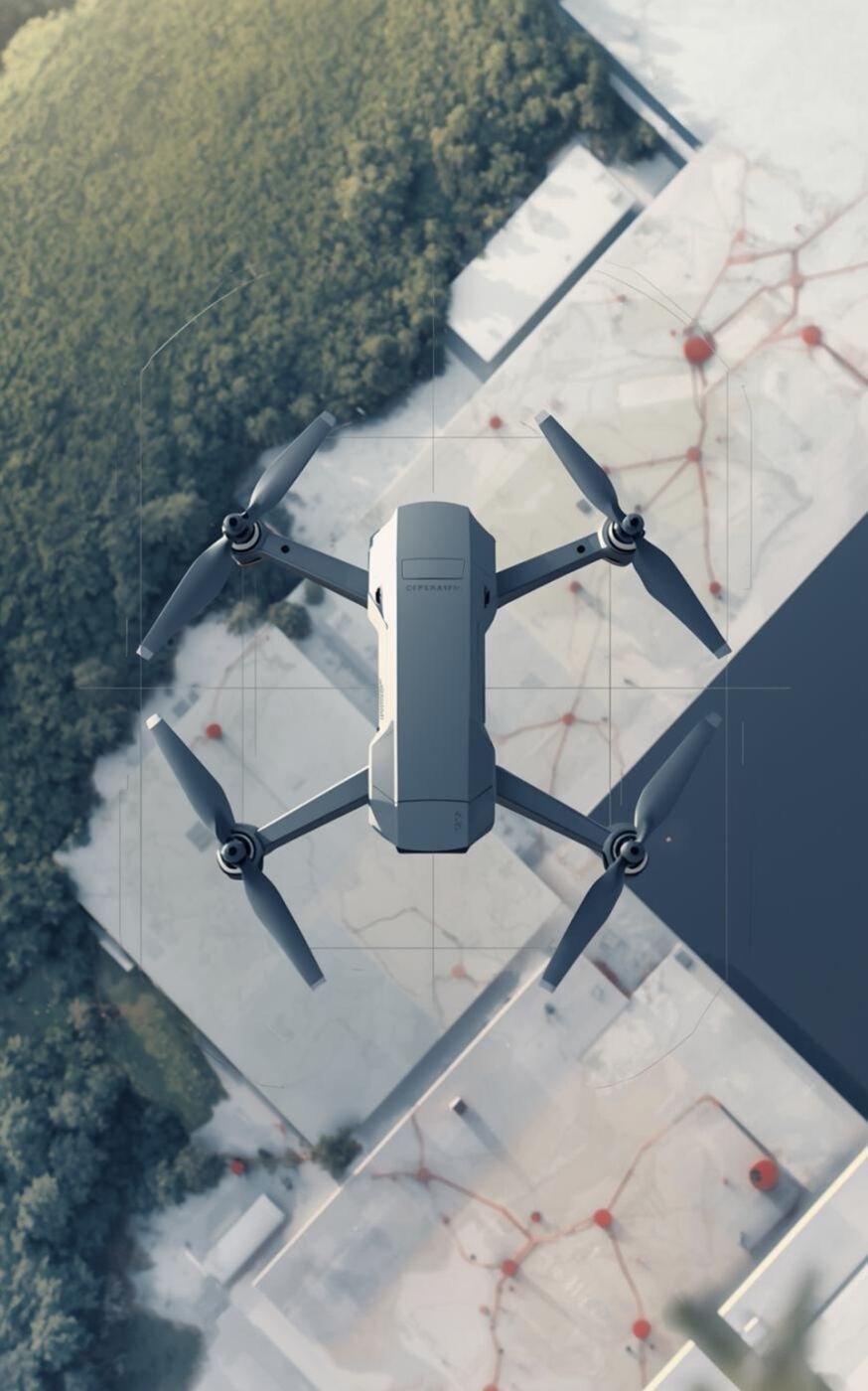
Boundary mapping, land parcel measurement and revenue survey using high-precision RTK/PPK drones and photogrammetry. Applications include property demarcation, encroachment detection, plot subdivision and urban planning.
 Sensors
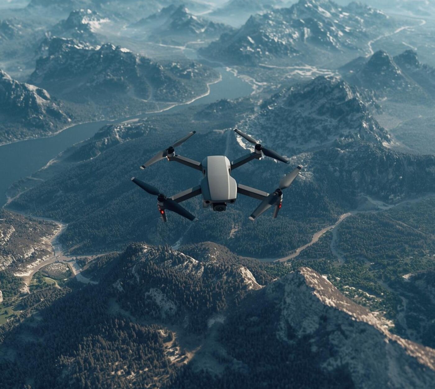
Forest cover mapping, canopy density and fire damage assessment.
 Benefits
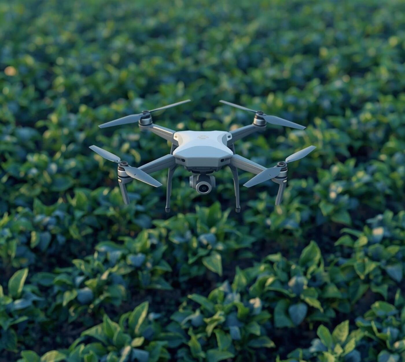
Crop health monitoring, NDVI mapping and yield estimation.
 Outputs
Road alignment, progress monitoring and volume calculation.