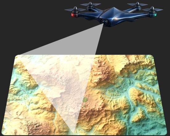
Rapid response surveys for flood mapping, landslide assessment, earthquake damage analysis and search & rescue support.
 Tools Used
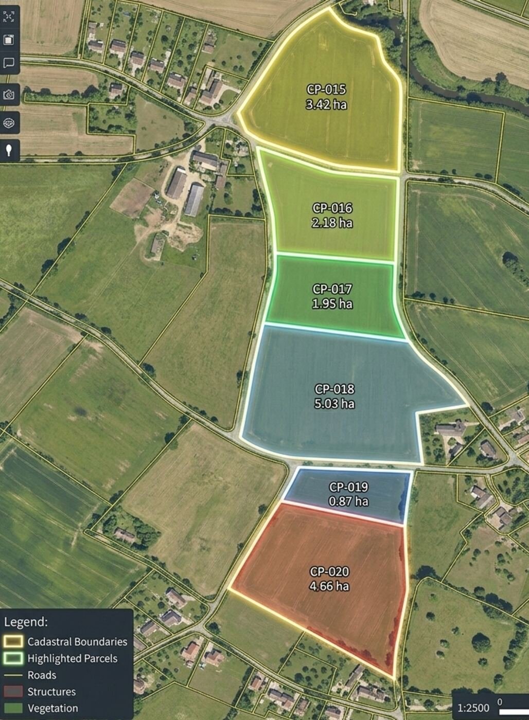
Boundary mapping, land parcel measurement and revenue survey.
 Sensors
Forest cover mapping, canopy density and fire damage assessment.
 Benefits
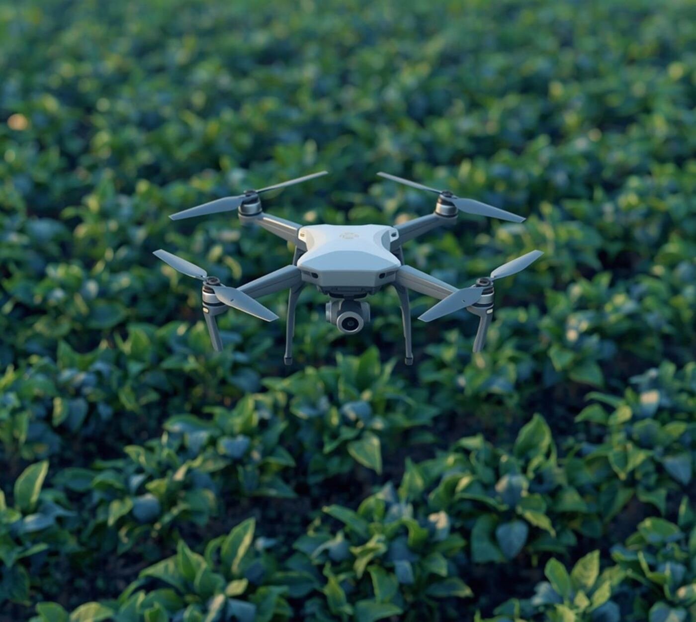
Crop health monitoring, NDVI mapping and yield estimation.