
Road alignment surveys, site progress monitoring, volume calculations (cut and fill), transmission line inspection and railway corridor mapping.
 Tools Used
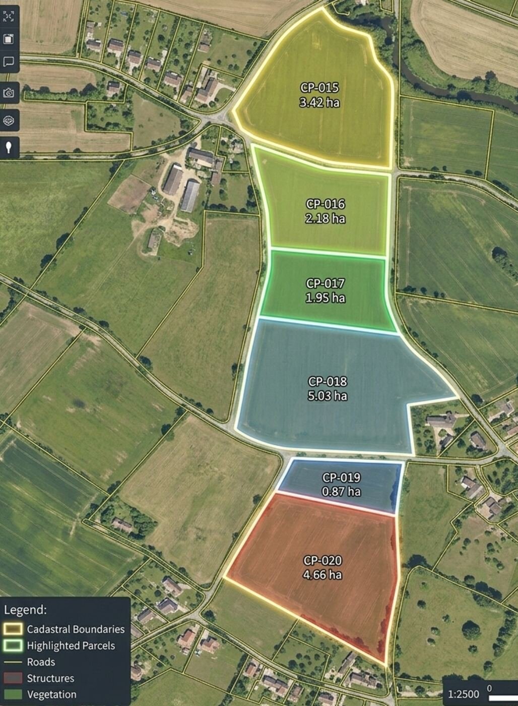
Boundary mapping, land parcel measurement and revenue survey.
 Sensors
Forest cover mapping, canopy density and fire damage assessment.
 Benefits
Crop health monitoring, NDVI mapping and yield estimation.